Dunedin and the Otago Harbour
Dunedin is the second-largest city in the South Island of New Zealand (after Christchurch), and the principal city of the Otago region. Its name comes from Dùn Èideann, the Scottish Gaelic name for Edinburgh, the capital of Scotland. With a population of 126,255 at the 2018 New Zealand census, Dunedin is New Zealand's sixth most populous city. However, due to historic, cultural and geographic reasons the city has long been considered one of New Zealand's four main centres. The urban area of Dunedin lies on the central-eastern coast of Otago, surrounding the head of Otago Harbour, and the harbour and hills around Dunedin are the remnants of an extinct volcano. The city suburbs extend out into the surrounding valleys and hills, onto the isthmus of the Otago Peninsula, and along the shores of the Otago Harbour and the Pacific Ocean. (Quelle: Wikipedia)
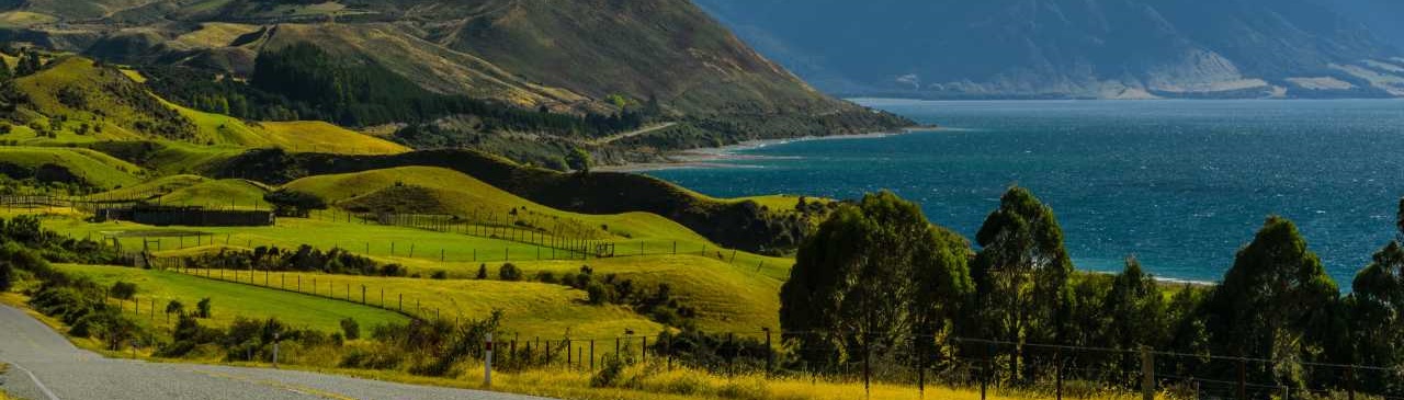
Otago Harbour
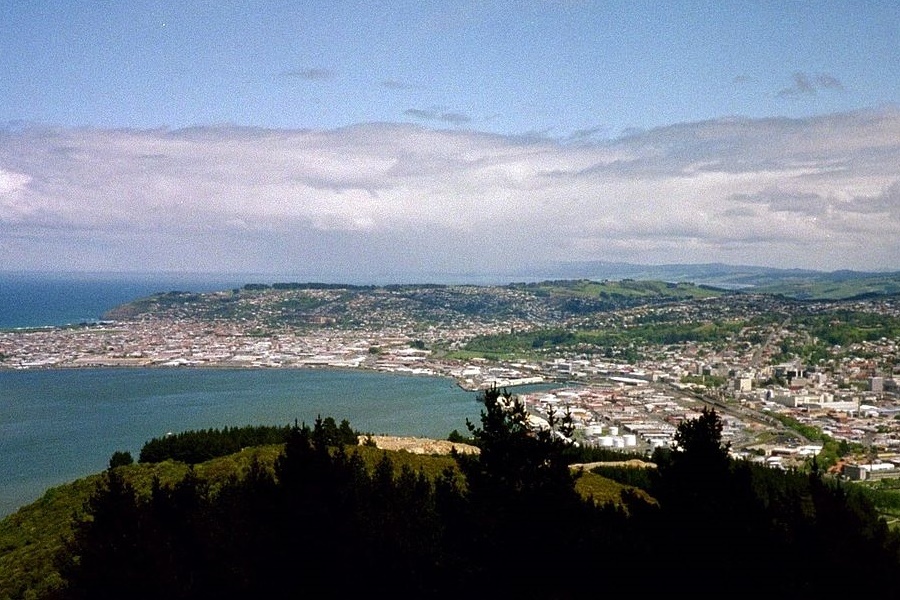
Otago Harbour is the natural harbour of Dunedin, New Zealand, consisting of a long, much-indented stretch of generally navigable water separating the Otago Peninsula from the mainland. They join at its southwest end, 21 km (13 mi) from the harbour mouth. It is home to Dunedin's two port facilities, Port Chalmers (half way along the harbour) and at Dunedin's wharf (at the harbour's end). The harbour has been of significant economic importance for approximately 700 years, as a sheltered harbor and fishery, then deep water port. (Quelle: Wikipedia)